This section covers Danish route designation signs, which are crucial for identifying different types of roads and routes across the country. Unlike regulatory signs, these serve as identifiers for major highways, national and local cycle paths, and even scenic tourist routes. Understanding these signs will not only help you navigate more effectively but is also a key part of your theory test preparation, ensuring you can interpret the road network correctly.
An explanation of how Danish Route Designations road signs apply in real traffic situations in Denmark. Learn where these signs are typically placed, what drivers are expected to do when they appear, and how correct reactions help you stay safe, avoid fines, and succeed in your Danish driving theory exam.
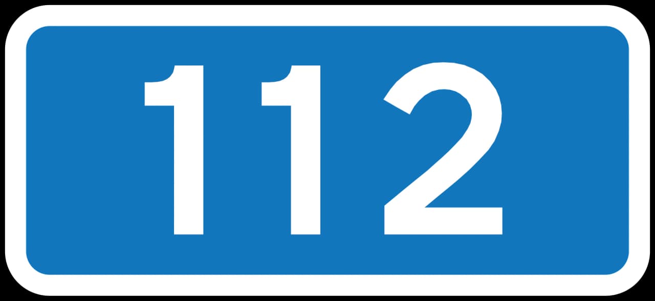
Danish route designation signs are frequently encountered by drivers, cyclists, and tourists. E-Road signs (L41) indicate major European highways, guiding long-distance travellers. Primary route (L42) and secondary route (L43) signs help differentiate major national and regional roads, aiding in route selection for everyday journeys. Ring road signs (L44) are vital for bypassing urban centres. Cyclists will particularly notice national (L45), regional/local bicycle routes (L45.2), and dedicated bicycle highways (L46), which map out safe and efficient cycling networks. EuroVelo signs (L47) mark international long-distance cycle routes, while Marguerite routes (L50) highlight scenic tourist drives. Drivers should pay attention to these signs to anticipate road types, potential traffic volumes, and specific route purposes, especially when planning journeys or following navigation.
An overview of the key learning outcomes when studying the Danish Route Designations road sign category. Understand the main concepts, sign meanings, and traffic situations covered here so you can recognise patterns, answer theory questions more confidently, and build a solid foundation for safe driving in Denmark.
Master Danish route designation signs, including E-roads, primary and secondary routes, and cycle paths. Understanding these identifiers is crucial for safe navigation and exam preparation, helping you recognise key routes and follow official signage correctly during your theory test revision.

The L41 E-Road sign guides you along designated routes, but isn't a traffic rule itself.

The L42 Primary Route sign is for navigation, not a traffic rule.
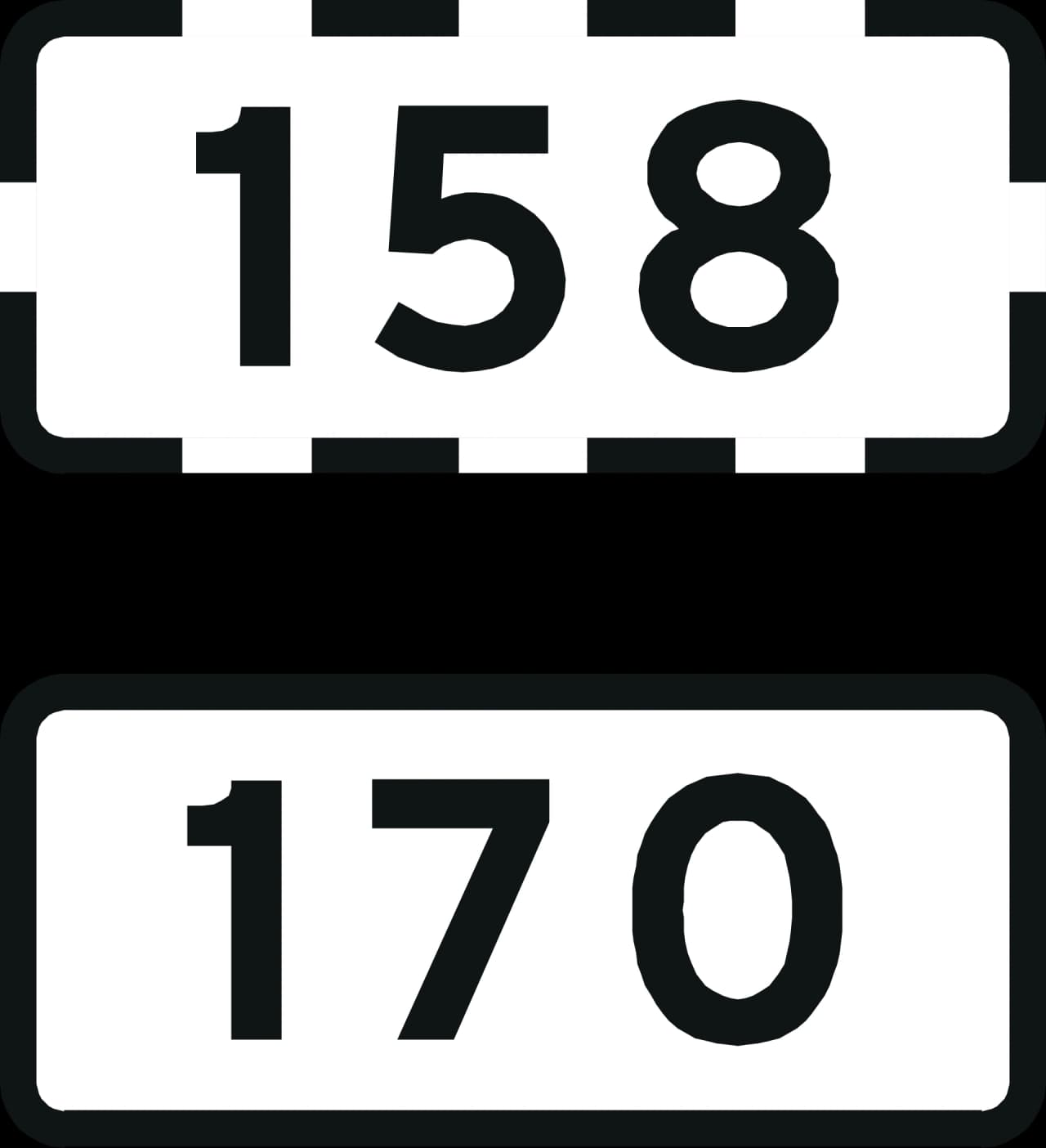
The L43 Secondary Route Marker: Your Guide to Navigation

The L44 Ring Road sign helps you navigate, but isn't a traffic rule on its own.

The L45 National Bicycle Route Sign: Your Guide for Navigation
The L45.2 sign is a navigational marker for regional or local bicycle routes.

The L46 Bicycle Highway sign is for navigation, not a direct traffic rule.

The L47 EuroVelo sign is your guide for specific cycle and tourist routes.

The L50 Marguerite Route Sign Guides You Along Scenic Tourist Paths
Clear answers to common questions about the Danish Route Designations road sign category. Use this FAQ to review tricky rules, understand how these signs appear in exam scenarios, and remove confusion that often leads to mistakes in the Danish driving theory exam in Denmark.
Route designation signs, like those for E-roads or bicycle paths, primarily serve as identifiers to help you follow a specific route. Regulatory signs, on the other hand, impose rules or give orders, such as speed limits or prohibitions. While designation signs guide you, regulatory signs dictate how you must behave on the road.
Yes, E-Road signs are important even for local drivers. They indicate major European arteries that often pass through or near urban areas. Understanding them helps in anticipating traffic flow, as these roads can carry significant volumes of both national and international traffic. They are part of the overall road hierarchy you need to recognise.
You can distinguish bicycle route signs by their specific markings. L45 indicates a national bicycle route, often a significant long-distance path. L45.2 refers to regional or local bicycle routes, which are typically shorter and serve more localised areas. L46 signs mark bicycle highways, which are designed for faster, uninterrupted cycling through urban environments, similar to a road for cars. EuroVelo signs (L47) are for international cycle routes.
A Marguerite route sign (L50) indicates a designated tourist route. These routes are often chosen for their scenic beauty or historical interest, rather than just directness or speed. If you are looking for a pleasant drive or exploring the area, following these signs can lead you to interesting sights. However, be aware that they may not always be the fastest way to get from point A to point B, and might involve narrower or winding roads.
Generally, route designation signs themselves do not dictate priority at intersections. Priority is usually determined by other traffic signs (like 'give way' or 'stop') or by road markings, such as being on a main road. However, the type of road indicated by a route designation sign can imply its importance within the network, which might correlate with priority in some junctions, but you should always rely on specific priority signs or rules.
After reviewing the overall structure of Danish road sign groups, select a category to explore individual signs, their meanings, and specific rules in detail. Enhance your knowledge by practicing questions related to each sign type, preparing effectively for your Danish driving theory exam.
Danish Road Sign Groups